

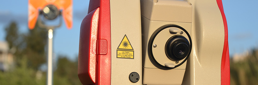
Using the latest geomatic technology including; reflectorless theodolites, robotic instruments,survey quality GPS and total stations we provide our clients and their consultants with accurate and economical survey solutions for all aspects of land surveying.
Our software can produce data in any format, including Autocad, for all measured land survey types including;3D digital terrain models, DTM, volume or area calculations, sections and setting-out schedules.
Our land survey services are provided throughout Greece. Whether you require assistance with topographical, engineering, boundaries or GPS survey we have the solutions.
The most common reasons a topographical survey is required are:
- Building permission
- Notarial acts and other legal transactions (transfer of property, parental donation, gifts inter vivos)
- Regularization of arbitrary buildings
- Certificates for Natura Services
- Marking on land – agricultural parcels
- Application (drawing) of urban and building line
- Implementation on building-construction soil (foundation drawings)
- Appeals of lands
- Actuarial act
- Licensing of photovoltaic and wind farms
- Property contracts & land deed verifications
- Private Urban Planning
- Determination of lines of seashore and beach
- Marking plots of land on the ground
- Mapping out urban building lines.
- Town planning
- Separation - Segmentation of Properties in smaller parts.
- Architectural surveying: Ground plans, aspects of buildings and other constructions. Depiction/ Interpretation of digital models of the ground
- Optical fiber - Topographic Mapping
- Geometric leveling
- Contour lines
- Digital terrain model (ground model)/ Three-dimensional depiction
- Corrective action on application modification of approved drawings
- Study of distribution
- Localization of private plots of land properties