

We can:
- create corresponding three-dimensional studies
- studies for Technical Constructions, Architecture, Archaeology etc.
- produce Ortho Photo Maps using drones etc.
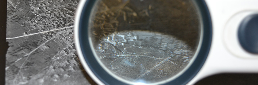
- produce photo interpretation for a specific area and specific date or periods in time for documentation on the year of manufacture of illegal constructions or additions were built, presence or absence of roads, paths , buildings or other structures, the type of vegetation or type of plants existing on a plot of land, the geomorphology and other natural or artificially constructed ground level e.t.c.